
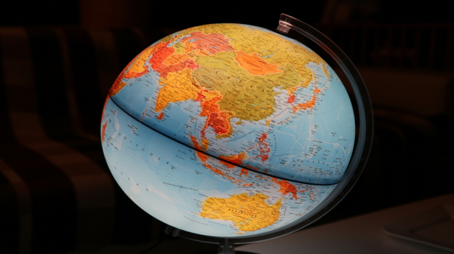
L’ESPERIMENTO DI ERATOSTENE PER MISURARE LA CIRCONFERENZA DELLA TERRA
Nel III secolo a.C. uno studioso ed erudito greco di nome Eratostene di Cirene (276 – 195 a.C. circa) eseguì la prima misurazione nota delle dimensioni della Terra. Per portare a termine questa operazione si servì di strumenti molto semplici: l’ombra proiettata dallo gnomone di una meridiana, più una serie di misurazioni e di assunti.
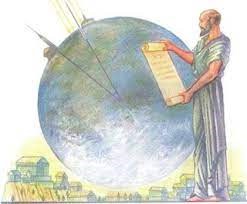
La determinazione della circonferenza terrestre fu però così ingegnosa e verosimile da meritare ammirazione ed emulazione per molti secoli.
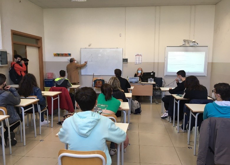
L’esperimento di Eratostene è così semplice e istruttivo al punto da essere ripetuto ogni anno, quasi 2500 anni dopo, da studenti di tutto il mondo nella giornata corrispondente all’equinozio di primavera. Quest’anno anche la nostra scuola ha partecipato all’esperienza, all’interno di un più ampio progetto di collaborazione internazionale su piattaforma E-twinning che ci vede partner di incontro, scambio e studio insieme a cinque istituti superiori in Francia, Grecia, Turchia, Croazia e Spagna. In tale ottica i risultati delle misurazioni verranno scambiati, confrontati e discussi da noi allievi nel forum della piattaforma.
All’esperimento ha partecipato, quindi, la nostra “classe” E-twinning composta da un gruppo di allievi della II A Trasporti e Logistica e da un altro gruppo della II B Informatica e Telecomunicazioni, coadiuvati dalle proff. Fonseca e Trifirò che, per il secondo anno, ci seguono e ci supportano in questa esperienza di apertura e scambio. Al nostro team si è aggiunto, con grande disponibilità, un docente di Matematica del nostro Istituto il prof. Giuseppe Fazio che ci ha guidato durante l’esperimento.
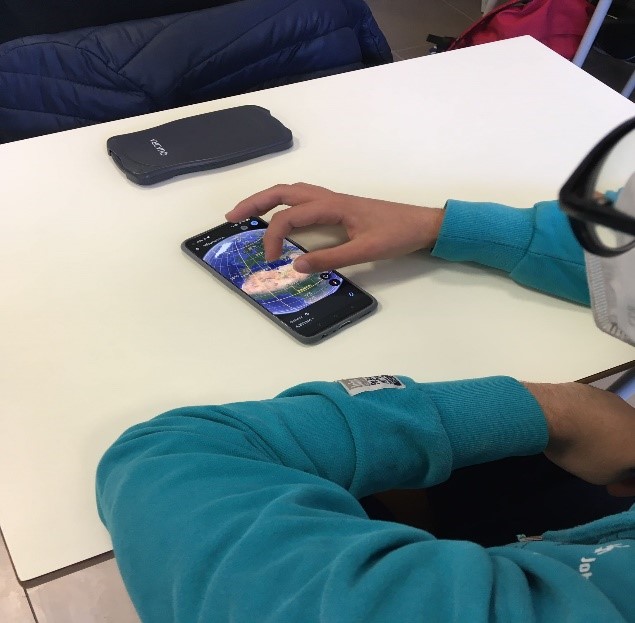
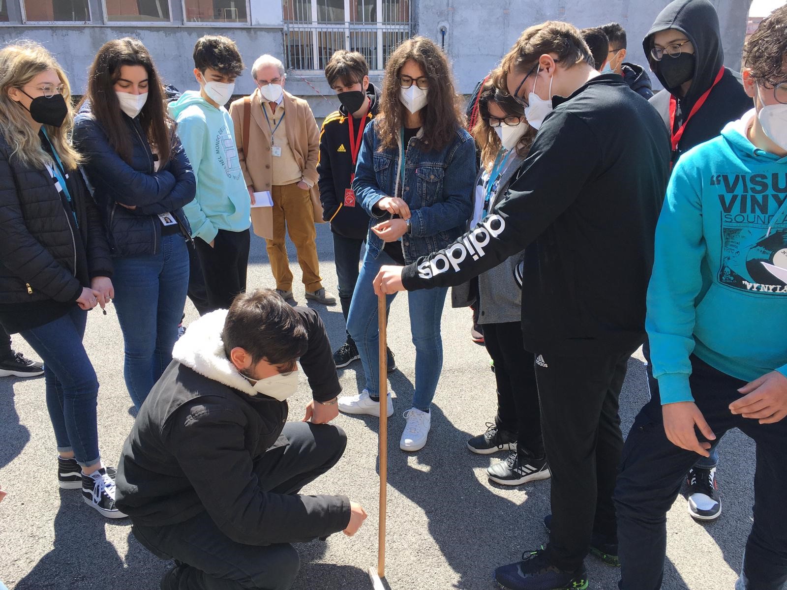
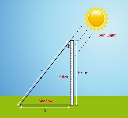
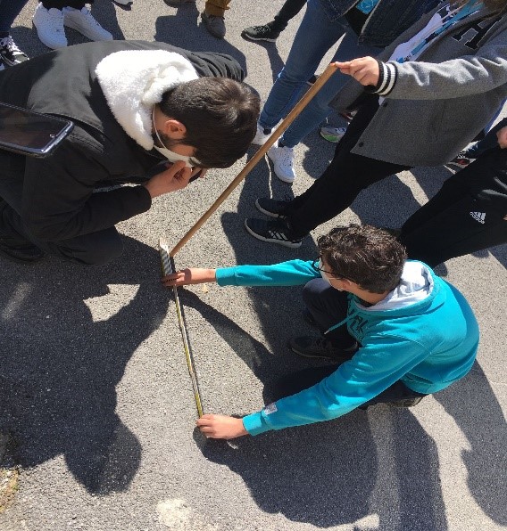
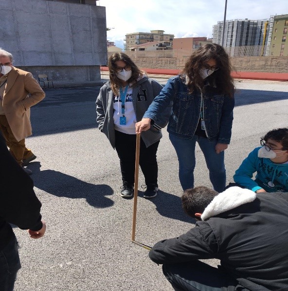
L’esperimento consiste nel misurare l’altezza del Sole nel suo punto più alto nel giorno dell’equinozio. La misura andava fatta, quindi, il 21 marzo alle 12:06’, che è l’orario in cui, in base alle indicazioni ricavate dal NOAA Solar Calculator, il Sole raggiunge il punto più alto. Applicata nel terreno un’asta di 1m di lunghezza abbiamo misurato un’ombra di 78,5 cm. Calcolata l’ampiezza dell’angolo q, vale a dire 38°, utilizzando Google Earth, abbiamo rilevato la distanza della nostra scuola dall’Equatore, cioè 4239 km. Ottenuti questi dati e impiantata una proporzione è stato possibile ottenere una misurazione con un errore di soli 84 Km.
THE ERATOSTHENES EXPERIMENT TO MEASURE THE CIRCUMFERENCE OF THE EARTH
In the third century BC.C. a Greek scholar named Eratosthenes of Cyrene (c. 276 – 195.C BC) made the first known measurement of the size of the Earth. To carry out this operation he used very simple tools: the shadow cast by the gnomon of a sundial, plus a series of measurements and assumptions. The determination of the earth’s circumference, however, was so ingenious and plausible that it deserved admiration and emulation for many centuries.
Eratosthenes’ experiment is so simple and instructive that it is repeated every year, almost 2500 years later, by students from all over the world on the day corresponding to the spring equinox. This year our school also participated in the experience, within a wider international collaboration project on the E-twinning platform that sees us as partners of meeting, exchange, and study together with five high schools in France, Greece, Turkey, Croatia and Spain. In this perspective, the results of the measurements will be exchanged, compared, and discussed by us students in the forum of the platform.
The experiment was therefore attended by our E-twinning “class” composed of a group of students of the II A Transport and Logistics and another group of the II B Informatics and Telecommunications assisted by the proff. Fonseca and Trifirò who, for the second year, follow us and support us in this experience of openness and exchange. To our team was added, with great availability, a professor of Mathematics of our Institute prof. Giuseppe Fazio who guided us during the experiment.
The experiment consists of measuring the height of the Sun at its highest point on the day of the equinox. The measurement had to be made, therefore, following the NOAA Calculator, on March 21 at 12:06 ‘, which is the time when the Sun reaches the highest point. Applied in the ground a rod of 1m in length we measured a shadow of 78.5 cm. Calculated the amplitude of the angle q, i.e. 38°, using Google Earth we detected the distance of our school from the Equator, that is, 4239 km. Once these data were obtained and a proportion was implanted, it was possible to obtain a measurement with an error of only 84 Km.
E-twinning group (II A TL – II B IT)
